
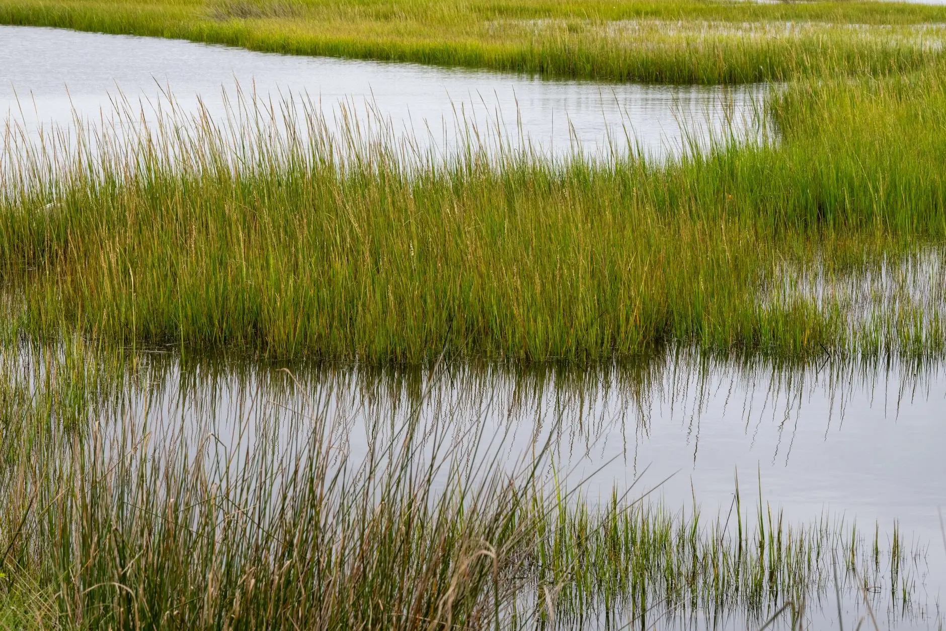
Quick answer: Maine salt marsh ecology runs on tidal flooding. Salt-tolerant plants such as smooth cordgrass hold the marsh together, birds and other animals use it, and rising seas and development decide whether it lasts.
This guide belongs to our wider look at Maine ecosystems. Because marsh water comes and goes with the tide, it also connects to the Gulf of Maine ecosystem offshore.
Choosing where to start
A marsh makes the most sense if you pick one lens first and then add the others. Three starting points cover most readers.
- Start with water if you want the mechanics. Tides explain why the marsh looks the way it does, and the next section covers them.
- Start with plants if you plan to walk the edge of a marsh. Plant bands show you how often each part floods.
- Start with birds if you come to watch wildlife. Birds make sense only once you know which part of the marsh they use and what threatens it.
Whichever you pick, finish with the pressures section. It shows why the same marsh can look healthy now and still be at risk.
How a Maine salt marsh works
A salt marsh is a coastal wetland flooded by salt water on the tide. That flooding is the engine of the whole system. Each tide delivers water, sediment and food, and each ebb drains it away through a branching network of creeks.
Because the marsh is wet and salty, only plants that tolerate those conditions can grow in it. Those plants trap sediment and add their own dead material to the surface. In this way, reporting by the Pulitzer Center explains, a salt marsh can build elevation to keep up with sea level rise, provided plant cover and tidal flow stay in working order.
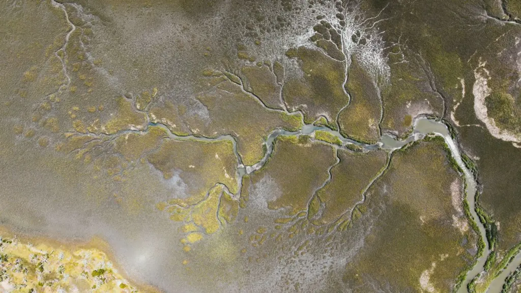
The same source reports that a healthy salt marsh anchors a food web that University of Maine researchers describe as more productive than most midwestern farmland. It also says marshes can be 10 times more effective than tropical forests at absorbing and trapping carbon, and that they act as a buffer against storms. For a decision-maker, that is the practical case for protecting them. One wetland provides habitat, carbon storage and storm protection together.
Estuary and marsh: choosing the right frame
An estuary is the broader setting where river water meets the sea. A salt marsh is one habitat within it. Mudflats, tidal channels and open water are the others.
Use the estuary frame when you are asking about water, such as how fresh and salt water mix or how tidal channels drain. Use the marsh frame when you are asking about vegetation and the animals that depend on it. Most real places need both, because the marsh surface can only build up if tidal water keeps reaching it.
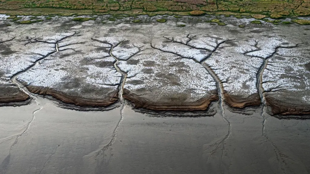
Maine’s biggest example of the marsh half of this picture is Scarborough Marsh, which the Pulitzer Center describes as the largest contiguous salt marsh in the state. It also shows the stress these places are under. The same report says it is being boxed in by housing developments and roads at higher elevations.
Plant zones and smooth cordgrass
Smooth cordgrass is the plant most people associate with the lower, more frequently flooded parts of a marsh. Other salt-tolerant plants occupy the ground above it that floods less often. The result is bands of vegetation that run parallel to the creek edge.
Treat those bands as a map of flooding. When the bands move or break up, the water regime has probably changed. The pack points to two causes worth checking. First, stormwater runoff can lower marsh salinity, sometimes to almost zero. Second, runoff carries excess nutrients that help invasive species thrive in the marsh, according to Pulitzer Center reporting.
In practice, a marsh edge next to a developed area deserves a closer look than one backed by open land. Unfamiliar, dense growth there may reflect nutrient input and fresher water rather than natural variation.
Birds of Maine salt marshes
Maine’s salt marshes are home to a wide variety of plants, birds and animals, according to the same Pulitzer Center report. Two groups of birds are worth separating, because they use the marsh differently.
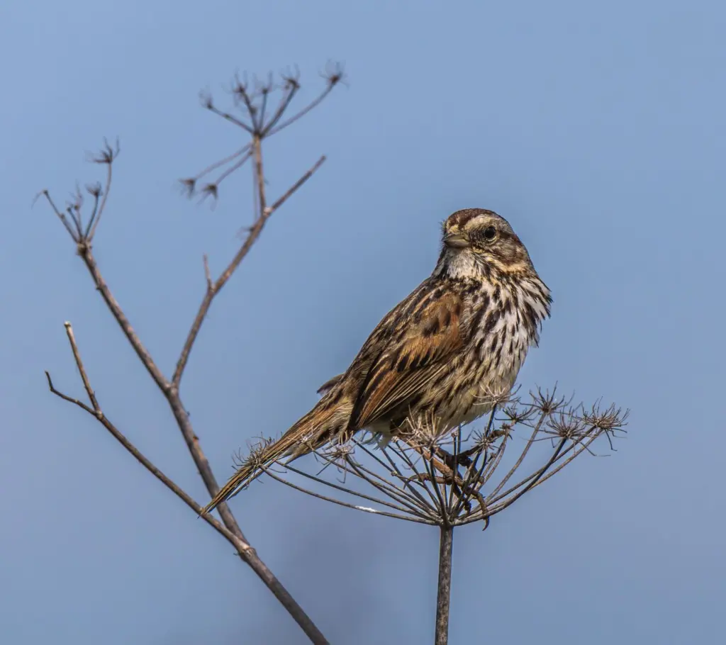
Marsh specialists. The saltmarsh sparrow is the species to know. It is a marsh specialist, so its fortunes follow the condition of the marsh itself. Anything that shrinks or degrades marsh vegetation is a direct concern for it.
Wading birds. Long-legged waders such as the great blue heron and snowy egret hunt in tidal creeks and shallow water. They depend on the food web the marsh supports, which makes them useful indicators. If waders turn up along creek edges at the right tide, the marsh is probably still feeding them.
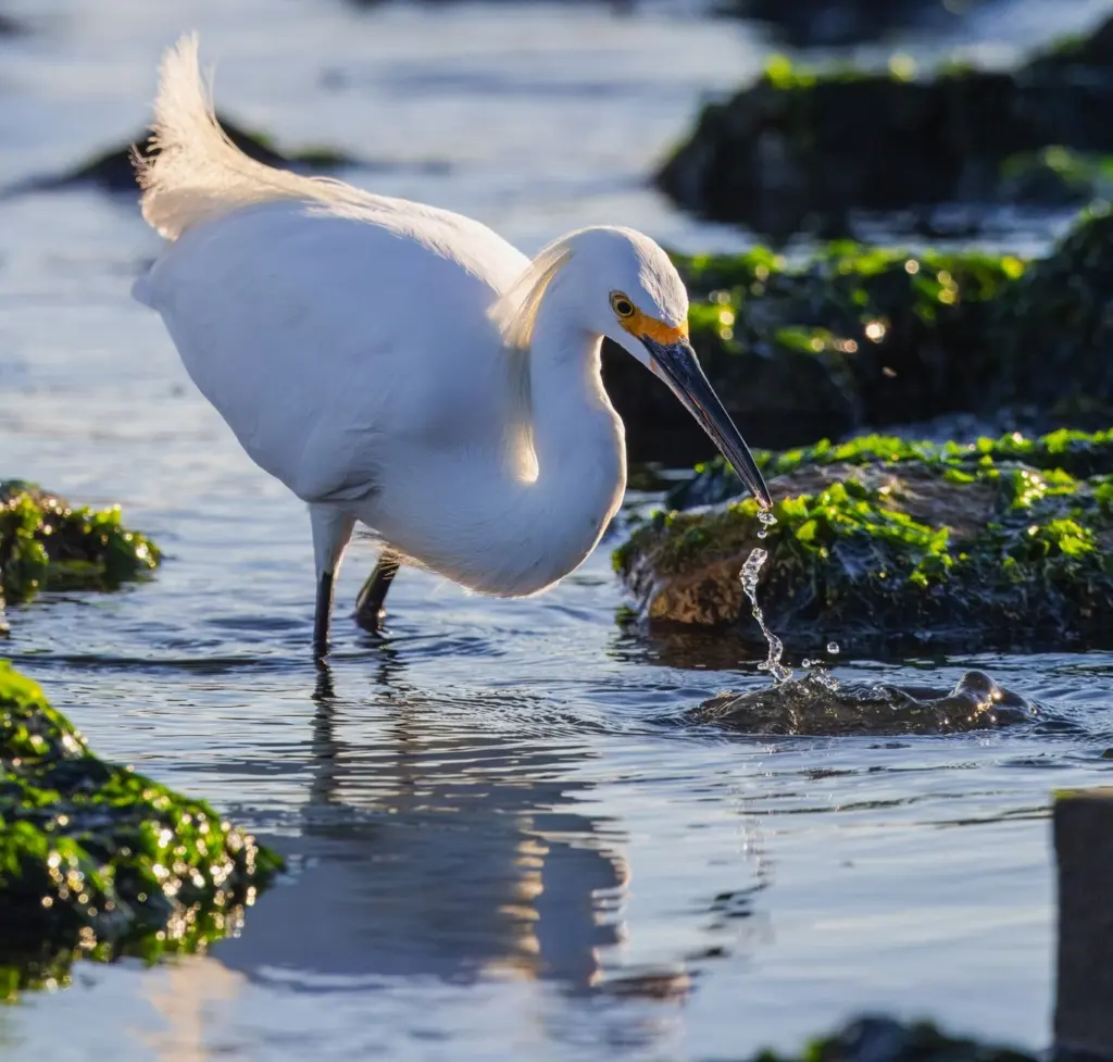
For birdwatching, pick the tide first and the species second. High and low water change where birds can feed, so the same stretch of creek can look empty at one tide and busy at another.
Wells estuary as a place to observe
The Wells estuary in southern Maine is a good place to see these ideas on the ground. It is managed as the Wells National Estuarine Research Reserve, which makes it a practical choice for anyone wanting to connect tides, plant bands and birds in one visit. The questions below work at any marsh and fit Wells well.
- Watch the water. Note whether creeks are filling or draining, and where the water has reached on the plants.
- Walk the bands. Compare the plants at the creek edge, such as smooth cordgrass, with the vegetation farther from the water.
- Look at the edges. Check where the marsh meets roads, houses or woodland, since that border decides whether the marsh has anywhere to go as seas rise.
- Return at another tide. One visit shows one state of the marsh. A second visit shows how much the water actually does.
The land above the marsh also matters. For the woodland that typically lines that upland side, see our guide to the native trees of Maine.
Pressures on Maine marshes compared
Sea level rise is the headline threat, but it rarely acts alone. The table compares the main pressures reported for Maine marshes and what each means for management and monitoring.
| Pressure | What happens in the marsh | Planning use |
|---|---|---|
| Sea level rise | Marshes are having a harder time keeping up. Scientists project Maine could lose 28 to 57 percent of its salt marshes by the end of the century. | Treat it as a long-range range, not a forecast for any one marsh. Protect the processes that let marshes build elevation. |
| Blocked tidal flow | Restricted tides can make the marsh surface sink, worsening its chances of keeping up with rising seas. | Review structures that restrict tides before investing in other measures. |
| Development at the upland edge | Marshes get boxed in by housing and roads. Maine has lost more than 12.5 million square feet of wetlands to development. | Keep open land above the marsh, since a marsh needs space to move. |
| Stormwater runoff | Lower salinity, sometimes to almost zero, plus excess nutrients that help invasive species thrive. | Watch edges near developed land for changes in plant cover. |
These effects and projections are reported by the Pulitzer Center, drawing on scientists’ projections and wetland loss data.
Why sea level rise is the central issue
A marsh survives rising water only if its surface rises with it, and that depends on healthy plant cover and regular tidal flow. Blocked tides undermine that process, and development removes the higher ground a marsh would otherwise migrate onto. Rising seas then act on a marsh that has lost both its ability to build up and its room to retreat.
Troubleshooting: reading what you see
- Water pooling on the marsh surface. This may point to sinking where tides are restricted, although pooling alone does not prove it. Look for a structure that limits tidal exchange nearby.
- Fresher-looking, denser growth near a developed edge. Runoff can lower salinity and add nutrients, which favours invasive species over native marsh plants.
- Few birds on a visit. Check the tide before drawing conclusions. A single visit at the wrong tide says little about the marsh.
- A marsh that looks fine but sits against roads or housing. Appearance can mislead. A boxed-in marsh has little space to move as seas rise.
Frequently asked questions
How does a Maine salt marsh work ecologically?
Tides flood the marsh and salt-tolerant plants such as smooth cordgrass trap sediment and build the surface. That supports a food web that University of Maine researchers describe as more productive than most midwestern farmland.
Which birds live in Maine salt marshes?
Marshes host a wide variety of birds. The saltmarsh sparrow is a marsh specialist, and waders such as the great blue heron and snowy egret hunt in tidal creeks and shallows.
How does sea level rise threaten Maine marshes?
Marshes are having a harder time keeping up with rising seas. Scientists project that Maine could lose 28 to 57 percent of its salt marshes by the end of the century. Blocked tides and development at the upland edge make the problem worse.
What is the difference between an estuary and a salt marsh?
An estuary is the wider setting where river water meets the sea, including channels and mudflats. A salt marsh is the vegetated wetland within it.