
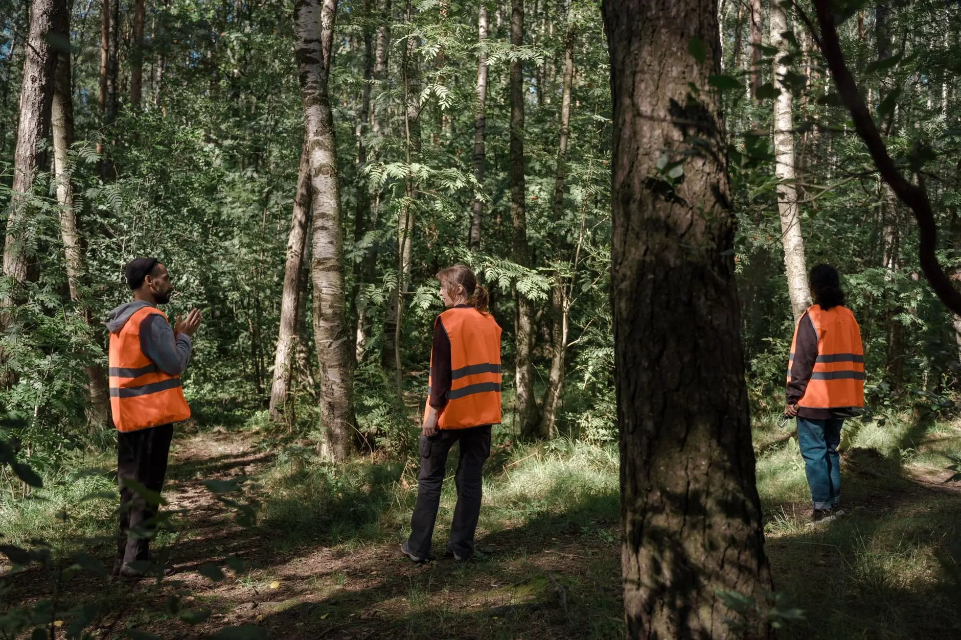
A new volunteer asks what a field mission actually involves. Field missions are repeatable units of work: set a goal, plan, pack gear, survey, then report, so every trip can be compared with the last.
Each trip described across our invasive species monitoring work follows this same pattern. Below, the common misunderstandings about missions are resolved one at a time, from planning through to the report.
What a field mission is
A field mission is a single, bounded outing with a stated purpose, a method and a written result. It is not an open-ended walk. The goal decides where the group goes, what it records and what counts as finished.
The phrase also has an older, larger meaning that can cause confusion. The United Nations uses it for deployments: its field missions page describes peacekeeping operations mandated by the UN Security Council and the General Assembly. A volunteer trip in Maine carries no such mandate. What the two uses share is the idea of a defined task carried out away from the office under a plan.
Two other terms sit inside a mission. A field survey is the data-collection step, where observers record what they find using a fixed method. Volunteer monitoring means community members carry out that step and repeat it over time. The mission is the wrapper that makes the survey repeatable: the same goal, plan, gear and reporting format each time.

Common misunderstandings about survey work
Most mistakes in a first mission come from assumptions about what a survey can and cannot show. The table sets out the usual ones against what published transect work supports.
| Common assumption | What the evidence supports | What to do |
|---|---|---|
| A raw count of what we see is enough to show change. | In an Aquatic Warbler study, a line transect design had 68% power to detect a 20% population change over 10 years, against 9% for raw counts. | Use a fixed transect design and repeat it, rather than tallying whatever turns up. |
| If it is on the line, we will see it. | Trials with tortoise models gave a combined density bias of -12.0%, largely attributed to missed models on or near the transect centerline. | Give the strip nearest the line the most careful attention. Do not assume it is the easiest part to scan. |
| Only experienced observers produce usable data. | A line transect assessment found no apparent effect of observer experience on data quality or the accuracy of estimates. | Invest in a clear protocol and a briefing. Do not turn away newcomers. |
| Not seeing something means it is absent. | Monitoring programs that track population change over time need to account for imperfect detection. | Record how and where you searched, so a non-detection can be interpreted. |
These figures come from studies summarised on Science.gov’s line transect sampling topic page, which collects published transect research on several species and settings.
Read the table as direction, not as a promise. The power figures belong to one bird survey, and the bias figure to a trial with models. They show why design and detection deserve attention. They do not give a number to expect on a Maine site. The finding on observer experience is also not a reason to skip training. It suggests that a well-written method matters more than who holds the clipboard.
Planning and scoping a mission
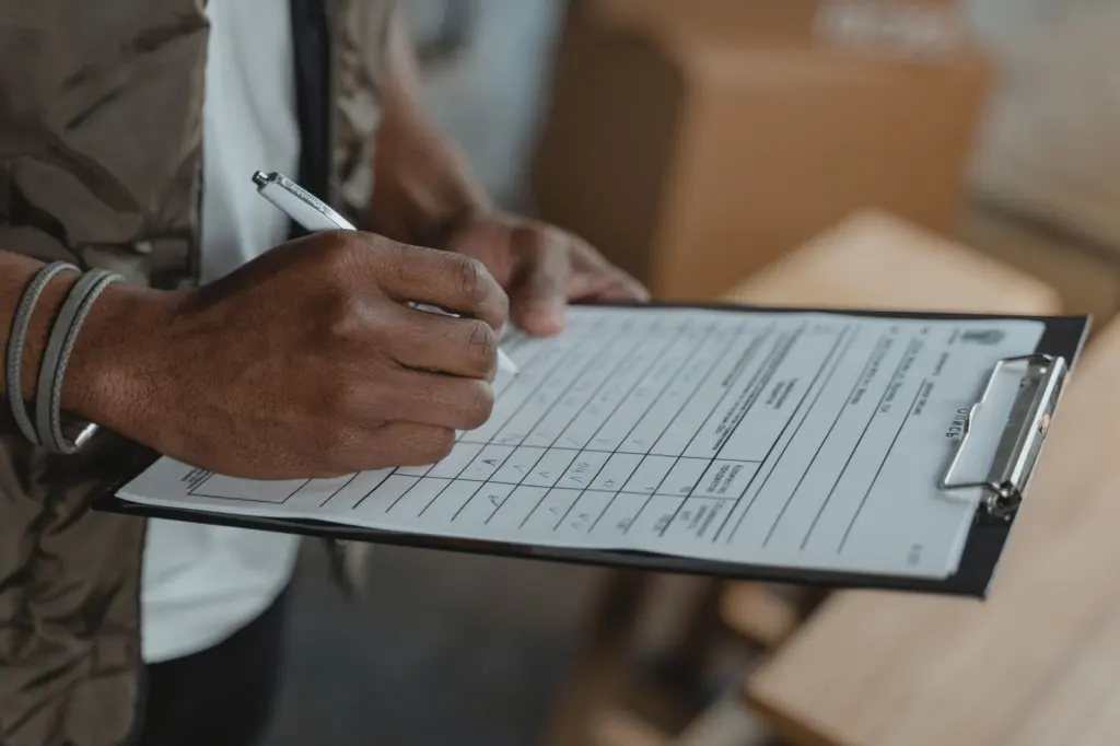
A mission is scoped by answering what question the trip serves, what will be recorded and when the work stops. A narrow goal is easier to repeat. A broad goal tends to produce notes that cannot be compared between trips.
Management guidance written for UN field operations makes a point that transfers well. The International Peace Institute handbook on field mission management has twelve chapters, including Planning, Managing Security and Evaluation. Its argument is that sound management practices can mean the difference between success and failure. That setting is far larger than a volunteer outing, but the sequence still applies: plan before you go, manage safety on the ground, and evaluate afterwards.
What a working plan settles
- Goal and boundary. State the single question and the area it covers. Anything outside that area belongs to another mission.
- Method. Choose the survey type, such as a transect or a fixed search, and write it down so that the next team repeats it exactly.
- Roles. Decide who records, who measures and who photographs, so that no task is left to chance in the field.
- Safety. Check current Maine CDC tick guidance before each trip and brief the group on it. Keep to the route the plan lays out.
- Stopping rule. Define what finished looks like. A mission that ends when people tire cannot be compared with one that ends on the plan.
Survey methods: transects in practice
A transect is a measured line along which observers record what they detect, and it is the backbone of many repeatable surveys. The line transect method is used to estimate wildlife population size and density. Fixing the line is what lets a later team walk the same ground.
Design choices change what a survey can deliver. In the Aquatic Warbler work summarised on Science.gov, observers surveyed 50 randomly placed 1-km transects repeatedly across 2011 to 2013. That is one study’s design, not a standard length or number. The practical lesson is that placement was random and the visits were repeated, which is what gave the design its power to detect change.
Choosing a method that suits the goal
Use a transect when the question is about density or change over time and the habitat lets observers move along a line. Use a simpler fixed-area search when the goal is only to confirm whether a species is present at a site. The deciding factor is whether the result must be compared between visits. If it must, the repeatable line is the better choice.
Whichever method is chosen, imperfect detection is the pitfall to plan for. Observers miss animals and plants even in good conditions, and the missed share is not constant. A clear protocol, consistent effort and notes on conditions make those misses easier to account for later.
Gear and documentation
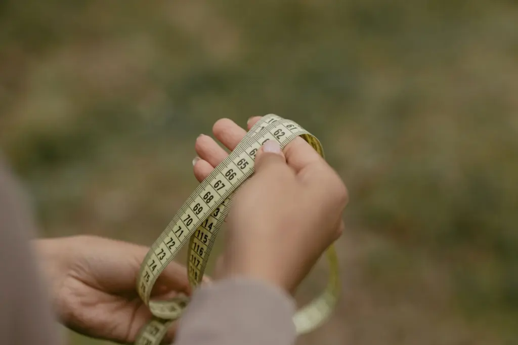
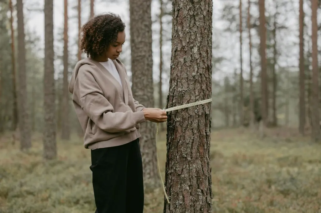
Gear for a mission falls into what you wear, what you measure with and what you record with. Sturdy boots and waders suit wet ground at a woodland edge. A measuring tape fixes the line, and a data sheet keeps every observer’s notes in the same format.
Documenting what you find
- Photograph against a plain background. A white card behind a plant makes the leaves and stem easier to examine later. Photograph each specimen the same way every time.
- Write on the sheet, not from memory. Notes made on the spot hold up better than recollections typed up afterwards.
- Record where and how long you searched. Effort and location let a reviewer judge a non-detection fairly.
- Keep one form for the whole team. Different formats make combined results hard to read.
Reporting the mission
A mission is finished when its observations are reviewed and written up, not when the group leaves the site. The report closes the loop with the goal set at the start. It states what was surveyed, how, and what was found.
A review meeting works best with the sheets, photographs and route notes to hand. Check entries against the plan, correct unclear records while memories are fresh, and agree what carries over to the next trip. Keeping the same structure each time is what turns separate outings into a record that can show change.
Reporting also feeds the evaluation that the planning handbook treats as a core theme. If the goal was too broad, the report will show it. The next mission can then be scoped more tightly.
Frequently asked questions
| Question | Answer |
|---|---|
| Does a transect have to be a straight line? | No. Some designs use transects made of multiple connected segments in a prescribed configuration, which helps when terrain or habitat boundaries rule out a single straight run. |
| What does a line transect actually estimate? | It estimates population size and density. The method is flexible: in a lake-bed test using underwater video, the pooled estimate was 95.5 bricks/ha against a true 89.8 bricks/ha, as summarised on Science.gov. |
| Is repeated transect sampling more work than a full count? | In the Aquatic Warbler comparison, repeated line transect sampling required 150 observer days, against 175 observer days for a full count. The effort saved was modest, but the design was far better at detecting change. |
| Is a volunteer field mission the same as a UN field mission? | No. UN field missions are mandated deployments, as the United Nations field missions page explains. A volunteer mission is a planned survey outing with a goal, a method and a report. |