
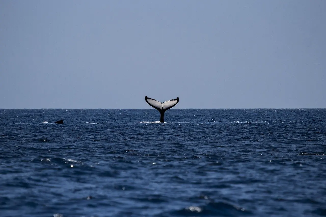
The Gulf of Maine ecosystem is a food web driven by ocean physics: currents move zooplankton, fronts concentrate their food, and fish, whales and seabirds depend on them. Rapid warming can shift when and where that food appears.
This guide follows that chain from currents to plankton to predators, then to what it means for anyone watching the coast. For the wider picture of habitats and native species, start with Maine ecosystems.
What defines the Gulf of Maine ecosystem
The Gulf of Maine ecosystem is defined by connection. Water movement, temperature, plankton, fish and large predators behave as one system, so a change in one layer tends to appear in the others. That is why researchers study the gulf together with neighbouring waters, including Georges Bank, rather than as an isolated basin.
The Gulf of Maine Council on the Marine Environment has published a State of the Gulf report series covering 2010-2016, including a report on Offshore Ecosystems and Habitats from 2012. Those reports frame the gulf by its context, themes and issues rather than by a single species. Use them when you want a broad, regional reference rather than a species account.
The practical definition for a coastal observer is simple. Anything you see living in or arriving from the gulf, whether a seabird, a whale or a fishing catch, sits at the top of a chain that starts with physical conditions offshore.
How currents build the food web
Currents decide where food is, and food decides where animals gather. NOAA’s Integrated Ecosystem Assessment program states that transport along major currents in the Gulf of Maine and around Georges Bank is an important environmental control on the distribution of zooplankton. The sequence runs in four stages.
- Currents carry zooplankton. Zooplankton drift, so the major currents in the gulf and around Georges Bank largely set where they end up.
- Fronts concentrate food. Temperature and salinity fronts, the boundaries between water masses, gather the food sources zooplankton rely on. NOAA notes this contributes to the patchy distributions of zooplankton rather than an even spread.
- Zooplankton pass energy upward. They form a critical link between phytoplankton at the base of the food web and fish, mammals and birds.
- Predators follow the patches. Animals that feed on zooplankton, or on the fish that eat them, gather where the food is concentrated.
The consequence is that the gulf’s productivity is uneven by design. A rich patch and an empty stretch of water can sit close together, which is why catches, whale sightings and seabird feeding often cluster in particular places rather than spreading evenly.
Marine life that depends on zooplankton
Gulf of Maine marine life is tied to a small number of plankton species. The large copepod Calanus finmarchicus is the one NOAA highlights, and its abundance matters well beyond the plankton itself.
- North Atlantic right whale. NOAA lists this critically endangered whale among the animals supported by the zooplankton web, alongside herring, mackerel and sand lance.
- Atlantic cod and haddock. NOAA reports that zooplankton species abundance is linked to the recruitment of cod and haddock in the Northeast Large Marine Ecosystem, meaning plankton conditions help determine how many young fish join the population.
- Baleen whales. They tend to congregate on Georges Bank during the herring spawning season to feed.
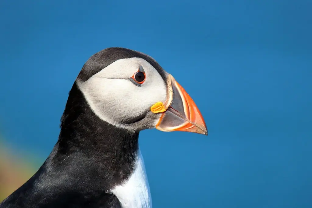
- Birds. Seabirds sit in the same chain, since zooplankton link the base of the food web to birds as well as fish and mammals.
Recent plankton conditions explain why this matters now. NOAA’s summary shows Calanus abundance varying between the gulf and the bank:
| Area | Calanus finmarchicus abundance | What it means for predators |
|---|---|---|
| Gulf of Maine | At or below average from 2009 to 2014; above average in 2015 | A single above-average year is a recovery signal, not proof of a lasting shift |
| Georges Bank | Below average for nearly all of the past decade | Fish and whales feeding there have faced a persistently thinner supply of this large copepod |
These figures come from NOAA’s Northeast zooplankton indicator summary.
Read the table as a judgement about stability. The gulf’s food supply is not collapsing or thriving in a simple way; it varies year to year, and the bank has been the weaker of the two. Anyone interpreting a good or bad season for whales or fish should consider plankton conditions in the preceding years, not only the current one.
Why the Gulf of Maine is warming fast
NOAA describes the gulf as rapidly warming, and the Gulf of Maine Research Institute reports that environmental conditions in the Northeast have changed rapidly, with consequences for marine resources and fisheries. The gulf is warming faster than most of the ocean, and the evidence for that comes largely from the surface.
How the warming is measured
GMRI’s climate and fisheries data dashboard draws on global satellite data for key fisheries management regions, including the Gulf of Maine, Georges Bank, the Scotian Shelf and the Mid-Atlantic Bight. Its tools are primarily derived from satellite sea surface temperature. Comparing the gulf with its neighbours on the same satellite record is how its warming is separated from broader ocean trends. The dashboard is the place to check current surface-temperature patterns rather than relying on anecdote.
What warming does to the food web
Warming is not only a temperature story. NOAA reports that shifting distributions of zooplankton on the Northeast shelf have been associated with warming waters. It also links regime shifts in zooplankton community structure to changes in water temperature, stratification and the Atlantic Multidecadal Oscillation, a long-cycle pattern in ocean conditions.
The sharpest risk is timing. NOAA says rapidly warming waters in the gulf could threaten the timing of entry into and exit from the Calanus diapause cycle. A shifted cycle could produce a temporal mismatch between the presence of Calanus and the larval fish that feed on it. Fish larvae that hatch when their food is absent have little margin, so a modest shift in timing can matter more than a modest rise in temperature.
For a longer view, the Gulf of Maine Council lists a review titled Climate impacts on the Gulf of Maine ecosystem: A review of observed and expected changes in 2050. It is a good next read for anyone who wants projected changes rather than recent observations.
What you can observe along the coast
Most of the processes above happen offshore, so shore observation is indirect. What you can see is the downstream result: which animals appear, when they appear and how local fisheries respond. Because NOAA ties distribution shifts to warming, patterns that move over several seasons are more informative than a single unusual day.
- Keep dated notes. The main risk NOAA identifies is mistimed food, so recording when seabirds, whales or fish first appear each year is more useful than recording how many you saw once.
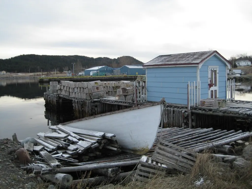
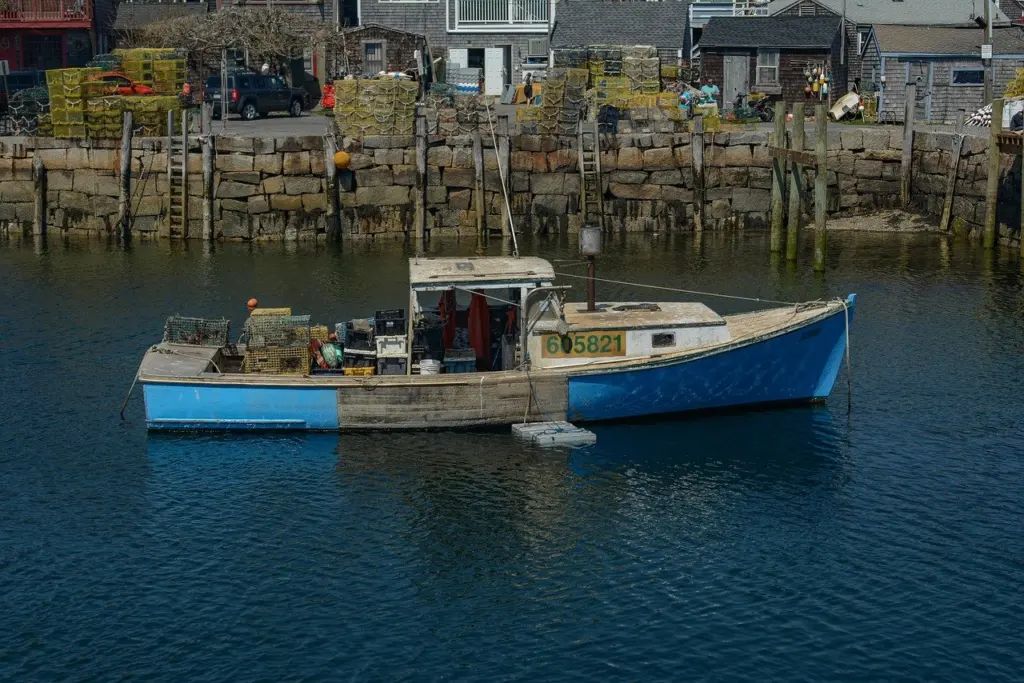
- Watch the working waterfront. Fishing activity at wharves reflects the marine resources GMRI says are being affected by rapid change in the Northeast.
- Compare with the data. Check your observations against the satellite sea surface temperature tools on GMRI’s dashboard before drawing conclusions.
- Look at the shoreline. Habitats where gulf water meets land show change at close range; see the Maine rocky intertidal zone and Maine salt marsh ecology guides.
Be cautious about explaining any single sighting. Zooplankton are patchy by nature, so a quiet week does not prove decline and a busy one does not prove recovery.
Frequently asked questions
Why do whales gather on Georges Bank?
NOAA notes that baleen whales tend to congregate there during the herring spawning season to feed, so the gathering follows a concentrated food source.
What does the Calanus diapause have to do with fish?
Fish larvae feed on Calanus. If warming shifts the diapause cycle, Calanus may be absent when larvae need it, creating a timing mismatch.
What data show how fast the gulf is warming?
GMRI’s climate and fisheries dashboard relies primarily on satellite sea surface temperature for the Gulf of Maine and neighbouring regions such as the Scotian Shelf and Mid-Atlantic Bight.
Where can I find broader reports on the gulf?
The Gulf of Maine Council’s publications page lists the State of the Gulf report series and a review of observed and expected climate impacts through 2050.
Is the right whale’s food supply secure?
Zooplankton support the critically endangered North Atlantic right whale, and Calanus on Georges Bank has been below average for nearly all of the past decade, so its food supply is a recognised concern.