

The main types of habitats in Maine are forests, peatlands, stream and wetland corridors, tidal coast and high summits. Start with the dominant plants and the landform underfoot.
These habitats are the building blocks of Maine ecosystems. The best first choice for a new observer is the broadleaf-versus-conifer forest split, because leaf shape alone separates the two. Nothing below is ranked by importance. The order follows what you meet walking from inland forest to coast to summit.
Natural communities, habitats and ecosystems
A natural community is the formal unit that Maine’s ecologists use to describe a recurring assemblage of plants and the setting it grows in. The Maine Natural Areas Program’s guide, Natural Landscapes of Maine, divides the landscape into natural communities and ecosystems and names them by landscape position and attendant species. It gives each of Maine’s 104 natural communities a two-page description with color photographs and distribution maps. Its introduction also includes a diagnostic key.

Habitat is the everyday word for the place a species lives. A single habitat, such as a bog, may correspond to one or several natural communities. An ecosystem is the broader unit that also includes the living and nonliving processes operating in that place. For identification in the field, the natural community framework is the most useful, since it is built on plants you can see and where they sit in the landscape.
The same classification underpins conservation. The Maine Natural Areas Program reserve system record states a goal of maintaining one or more natural community or native ecosystem types in a natural condition and range of variation. As of 2019, Ecological Reserves were designated on 27 public land units, and with 24 Nature Conservancy reserves the system covers 51 locations.
Field key to Maine’s main habitats
Work through these in order. Each entry gives the defining plants, what an observer will notice, who the habitat suits as a first identification, and its limits. Each broad type contains many finer natural communities, so treat these as starting categories rather than final answers.
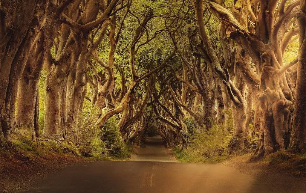
Northern hardwood forest
Northern hardwood forest is dominated by broadleaf trees, typically sugar maple and beech. An observer will notice a canopy of broad leaves that turns bright in autumn and drops its leaves in winter, so the forest looks open and bare in the cold months. It suits anyone starting out, because the broadleaf canopy separates it from conifer stands at a glance. The limit is that mixed stands blend hardwood and conifer trees, so judge the stand by the trees that make up most of the canopy.
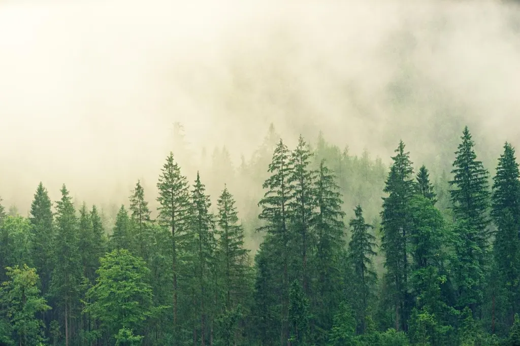
Spruce-fir forest
Spruce-fir forest is dominated by evergreen conifers, with spruce and fir as the defining trees. An observer will see a dark, dense canopy of needles that stays green in every season, often with a shaded, quiet understory. It is the natural counterpart to the hardwood stand and is just as easy to separate, since needles and broad leaves are the only distinction you need at first. Coastal spruce-fir stands that reach the shoreline are a common sight in Maine, but a conifer forest on its own does not tell you whether the ground beneath is dry or wet, so check the soil and the plants at your feet before settling on a type.
Peatlands and bogs
Peatlands are open, wet communities whose defining plants are sphagnum moss and stunted black spruce. An observer will notice a spongy, moss-covered surface, few and low trees, and a horizon that opens up where the forest has fallen away. They suit observers who want a distinct habitat with a strong visual identity. The limit is access. The ground can be soft and fragile, so view a bog from a boardwalk, trail edge or margin and avoid walking out across the moss.
Vernal pools and small wetlands
Small forest wetlands add a separate layer to the habitat map. Vernal pools in Maine are the clearest example. They sit inside forest and are easiest to recognize in the season when they hold water. Treat them as a wetland feature within a forest community, not as a forest type of their own. A pool can disappear from view when it dries out, so a single visit may not show it.
Riparian corridors and streams
Riparian areas are the vegetated strips along streams, rivers and ponds. Maine Audubon’s Forests for Maine Fish page reports that around 85% of Maine vertebrate species use riparian areas at some time during the year, and that Maine harbors 50% of the wild population of Eastern Brook Trout. An observer will see a band of different vegetation hugging the water, often shadier and damper than the forest behind it. These corridors suit anyone who wants to see how land and water habitats overlap. The limit is that a riparian strip is a narrow edge, so you identify it by its position along the water rather than by a single plant. Many of the animals that use these edges are links in the maine food web.
Salt marsh and tidal flats
Salt marsh is a coastal tidal community whose defining plant is cordgrass. The Gulf of Maine Council lists salt marshes among the region’s marine and estuarine habitats, alongside seagrass beds, tidal mud flats, underwater rocky outcrops and kelp beds. An observer at low tide will see broad grassy flats of cordgrass, muddy channels and exposed mud. Salt marsh suits a coastal visitor because the tide line, grass and mud make it hard to confuse with anything else.
Birds add a legal consideration. Maine’s Department of Environmental Protection describes shorebird roosting areas as including the intertidal zone, the roosting area and a 250-foot adjacent buffer. Keep that margin in mind before you set up near a flock on a shoreline.
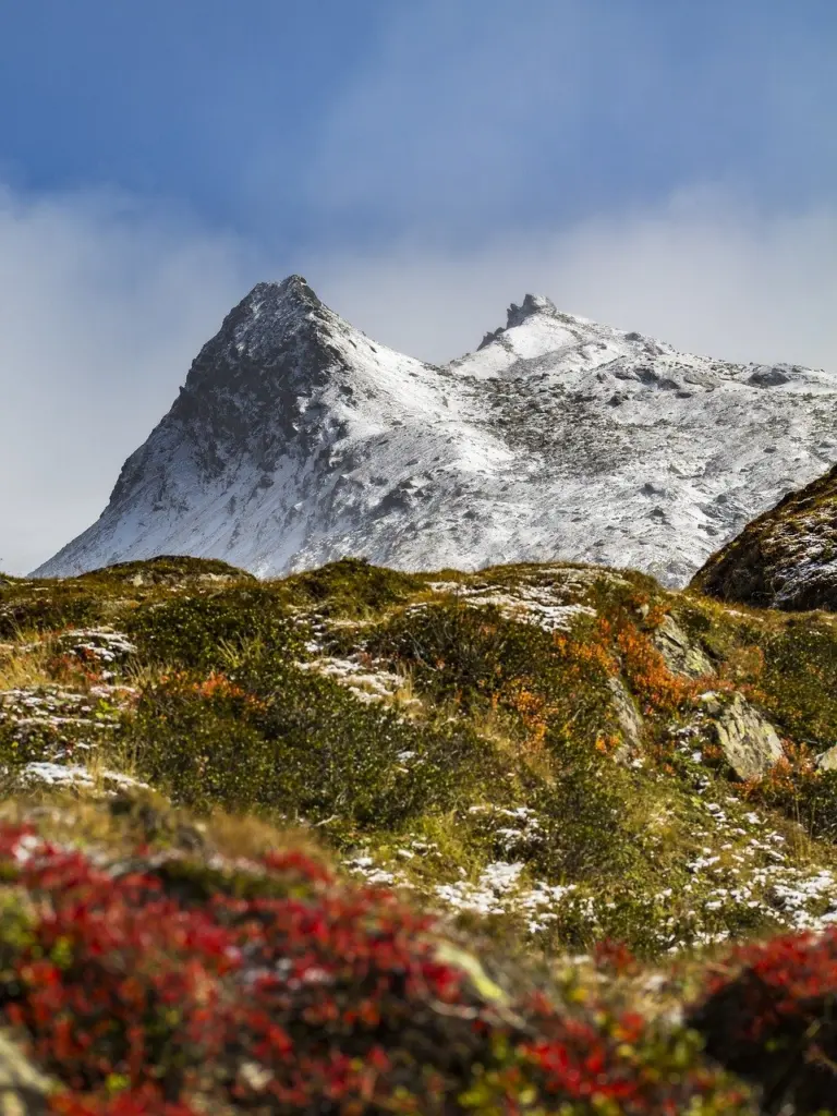
Alpine summits
Alpine tundra is a rare high-elevation community of low plants growing among bare rock. An observer will see a treeless summit where vegetation stays close to the ground and rock is exposed between the plant patches. It suits hikers who reach the top, and the contrast with the forest below is unmistakable. The limit is that these plants are small and easily damaged, so stay on marked routes and rock surfaces when you visit.
Easiest habitats for a volunteer to identify
A volunteer observer can pick out most of the habitats above without specialist training. Choose by how few clues you need.
- Broadleaf versus conifer forest: leaf shape and seasonal color settle the question from a trail, so begin here.
- Salt marsh: cordgrass flats and tidal channels are distinctive, and the changing tide confirms the setting.
- Peatland: a moss surface with low, sparse spruce is hard to mistake, but observe from the edge.
- Alpine summit: treeless ground with low plants and bare rock marks the habitat plainly, though it requires a climb.
- Riparian strip and vernal pool: these depend on position and season, so they take more practice and are better second steps.
For finer identification of a specific natural community, the diagnostic key in Natural Landscapes of Maine is the reference to turn to.
Comparison at a glance
| Habitat | Defining plants | What an observer notices | Planning use |
|---|---|---|---|
| Northern hardwood forest | Sugar maple, beech | Broadleaf canopy, autumn color, bare in winter | Easiest first identification |
| Spruce-fir forest | Spruce, fir | Dense evergreen canopy in all seasons | Pair with hardwood for a contrast |
| Peatland | Sphagnum moss, black spruce | Spongy moss, few low trees, open sky | View from the edge to protect the moss |
| Riparian corridor | Streamside vegetation | Shady, damp band along the water | Identify by position along the water |
| Salt marsh | Cordgrass | Grassy flats and mud channels at low tide | Plan the visit around the tide and keep clear of roosting birds |
| Alpine summit | Low plants on bare rock | Treeless ground above the forest | Stay on marked routes and rock |
Habitat names and the classification approach follow the Maine Natural Areas Program’s Natural Landscapes of Maine, and the coastal habitats follow the Gulf of Maine Council.
Frequently asked questions
How many natural communities has Maine described?
The Maine Natural Areas Program’s guide describes 104 natural communities, each with a two-page entry, color photographs and a distribution map, according to NatureServe’s publication page.
Is there a key for identifying a natural community?
Yes. The introductory material in Natural Landscapes of Maine includes a diagnostic key, along with an explanation of how the classification fits into conservation planning.
Where does Maine protect natural communities?
Maine’s Ecological Reserve System aims to keep natural community or native ecosystem types in natural condition. As of 2019 it included 27 public land units and 24 Nature Conservancy reserves, per the reserve system record.
Why do streamside habitats matter so much to wildlife?
Around 85% of Maine vertebrate species use riparian areas at some time during the year, according to Maine Audubon.