
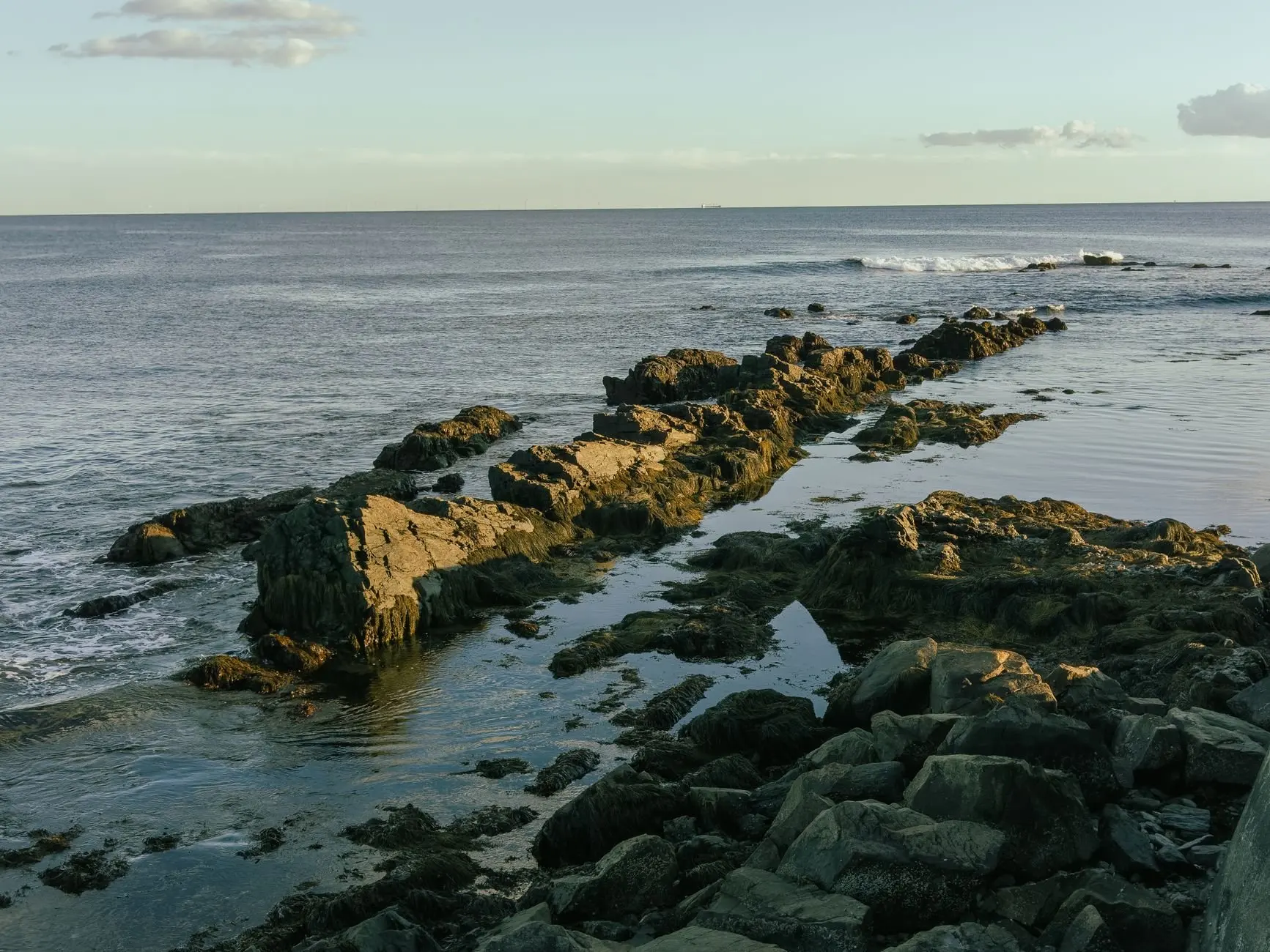
Choose a habitat before a species: the coast rewards low-tide visits, forests suit almost any season, and small wetlands are best in spring. These Maine ecosystems each give observers different things to see and record.
If you want the wider map first, the guide to types of habitats in Maine sets out how the state’s natural communities are described. This page helps you decide which habitat to visit, what usually lives there, and what is worth writing down.
Choosing where to start
The best first habitat depends on your access, your season and what you enjoy looking at, not on which habitat is most famous. A forest edge close to home will teach you more than a coastal trip you can only make occasionally. Work through the questions below and stop at the first one that fits your situation.
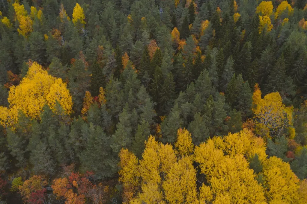
- You want visible life fast. Start on a rocky or muddy shore at low tide. Seaweed, shellfish beds and shore birds are exposed and easy to photograph, and a single visit gives you a varied list.
- You can only go outside in cold or off-peak months. Start with forests. Trees, tracks and evergreen cover remain readable when flowers, frogs and most insects are absent, and you can build a record of one site over many months.
- You are drawn to amphibians. Start with small seasonal wetlands in woodland in spring. These pools are small enough to survey patiently from the edge, and the animals that use them are concentrated in a short window.
- You prefer slow, quiet places. Start with a salt marsh or estuary edge. Channels, grasses and mud give you long sightlines and a steady supply of birds.
- You care most about rare or local plants. Start with river shores in the north, where some plants depend on a single narrow strip of habitat and records matter more than collecting.
Two further criteria change the decision. The first is how much identification skill you have: seaweeds, small invertebrates and sedges reward a field guide and patience, while large trees, frogs and obvious birds are easier for beginners. The second is how repeatable the site is. A place you can revisit gives you seasonal comparison, which is more valuable to any later reader of your notes than a single impressive list from a site you will never see again.
Whichever habitat you pick, the sections below tell you what to expect and what to note. The coast comes first because it offers the quickest return for a first outing.
How Maine sorts its habitats
Maine’s natural communities have been named and briefly described in an official classification. The Classification of Maine natural communities, issued in 1991, names and briefly describes the natural communities of the state, and it is intended to be dynamic and periodically updated as understanding changes. Readers should therefore treat any list of habitats as a working framework rather than a final count.
The Maine Climate Science Portal’s wildlife and biodiversity overview reports that the state holds over 100 natural community types. For a visitor, those many communities collapse into a handful of broad settings that are easy to recognise on the ground:
- Coast and shallow bays. Rocky ledges, tidal flats, mussel reefs and eelgrass beds.
- Coastal wetlands. Salt marshes and estuary edges where land and tide meet.
- Forests. Hardwood, softwood and mixed stands across the state.
- Small seasonal wetlands. Woodland pools that fill and shrink through the year.
- Rivers, lakes and their shores. Fresh water and the strips of habitat beside it.
The classification focuses on communities dominated by vascular plants, so it is strongest for forests, wetlands and open vegetation and thinner for water and non-plant communities. When you are recording a pond, a tide flat or a seaweed bed, a species guide will serve you better than a community list. The next sections take the settings in turn, beginning where the land ends.
The coast and the Gulf of Maine intertidal zone
The intertidal zone is the easiest place to see Gulf of Maine life, because the tide does the hard work of exposing it. An account of the state’s natural assets from the University of Massachusetts Amherst Greenway programme describes inter-tidal flats, mussel reefs and eelgrasses as together forming a large continuous ecosystem. That framing is useful in the field: do not treat the flat, the reef and the eelgrass bed as separate stops, because what you see in one tells you about the others.
Rocky ledges and rockweed
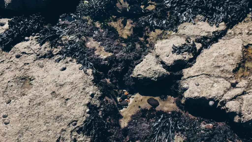
On a ledge at low tide, the first thing you will notice is seaweed. Rockweed carpets the mid-shore on many rocky coasts, and it creates a damp, shaded layer that shelters smaller animals beneath it. Lift nothing you cannot gently replace, and photograph the layers instead: the seaweed cover, the bare rock above it, and the water pools below. A full list of what to look for on ledges is in the guide to the Maine rocky intertidal zone, and the separate guides to Maine seaweed species and Maine marine invertebrates help with identification.
Flats, mussel reefs and eelgrass
Soft-bottom shores reward a different approach. Walk the upper edge rather than the flat itself, look for the darker patches that mark mussel reefs, and note where eelgrass begins in the shallows. Because these habitats connect, a record that says only “mud flat” loses information. Better notes say what was beside it: reef, eelgrass, rock or marsh edge.
Birds and the open water
The shore is also where Gulf of Maine life meets bird life, and for most observers birds are the easiest group to record. The broader context for the tide-zone species, currents and open water is covered in the Gulf of Maine ecosystem guide, while the birds of Maine guide covers what to expect through the year.
What you see at the shore is partly the result of feeding relationships, which the maine food web guide untangles. Tide state is the key note for every coastal record, because an observation without it cannot be compared with another day’s. The shoreline gives way to salt marsh where the energy of the waves drops.
Salt marshes and estuaries
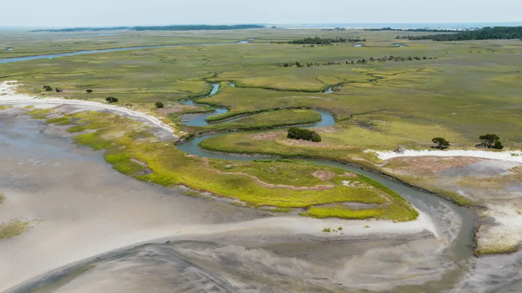
A salt marsh is a wetland flooded by the tide, and Maine has notable examples near its cities as well as in remote bays. The University of Massachusetts Amherst Greenway summary mentions a significant saltwater wetland at the delta of the Fore River in Portland, which shows that marsh habitat can be reached from an urban setting, not only from remote coast.
The same source notes that wetlands help purify surface water by filtering it through permeable soils and dense vegetation. That function is a good reason to record marsh condition when you visit. Notes on vegetation density, the state of the creek banks and the water level are all small observations that could reveal a change over successive seasons.
Marsh visits suit patient observers. Stay on firm ground, walk the margins instead of crossing vegetation, and look at the line where marsh grass meets mud. Wetland edges are fragile, and trampled vegetation is a record in itself of the pressure that popular sites face. For the grasses, creek structure and estuary species in depth, see Maine salt marsh ecology. Moving inland, the next habitat is the one most residents live beside.
Forests and the species they hold
Forest is the habitat most Maine observers can reach on a normal day, so it is the best choice for building a long record. A single woodland edge can be revisited across seasons to document leaf-out, fruiting, tracks and bird song, and the changes in your own notes are often more informative than a one-off trip to a remote place.
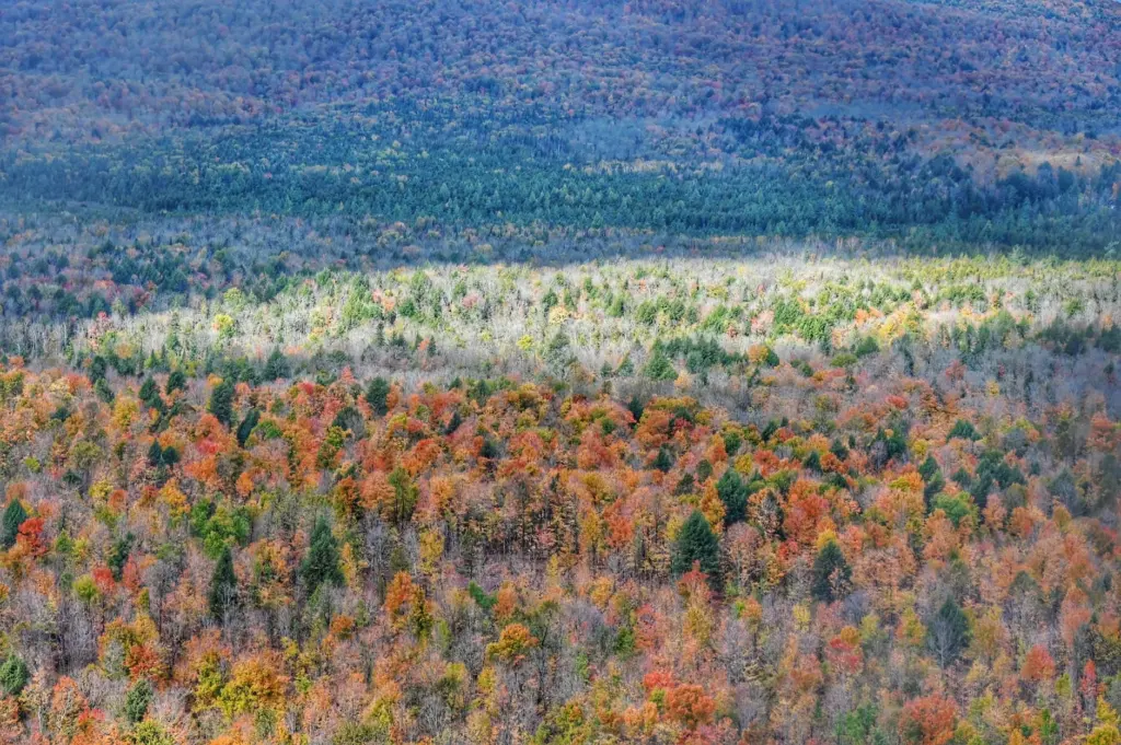
Autumn colour makes the mix of broadleaf and conifer trees easy to see from a distance, so it is a good season for noting stand composition. In winter, snow shows tracks, and that is where the link between weather and wildlife becomes visible. The Maine Climate Science Portal notes that, as climate change reduces the amount of snowfall in Maine, habitat for snowshoe hares will degrade. That makes snow-season tracking a meaningful activity for observers: a record of hare sign across winters is the kind of local evidence that shows what is changing.
Four practical choices shape forest recording:
- Pick a fixed route or plot. A return to the same stretch gives comparable notes.
- Record trees before understory. Trees are larger, easier to identify and change slowly, so they anchor the rest of the observations. The guide to native trees of Maine is the place to learn the common species.
- Note ground plants separately. Maine native plants change more quickly by season than the canopy, so date every entry.
- Look for sign as well as animals. Tracks, droppings and browsing damage are easier to find than animals themselves, and the mammals of Maine guide explains what they mean.
For the way stands age, the effect of tree-killing pests and the loss of conifers in some places, the deeper treatment is in Maine forest ecology. Woodland also holds the small wetlands where many amphibians breed, which is where the next section goes.
Vernal pools and woodland amphibians
A vernal pool is a small woodland pool that is wet in spring and may shrink or dry later in the year. That seasonal rhythm is what makes it a distinctive habitat, and it is why timing matters more here than almost anywhere else. If you visit too late, you may find only leaf litter where an active pool had been. The guide to vernal pools in Maine explains how to identify one and what to record.
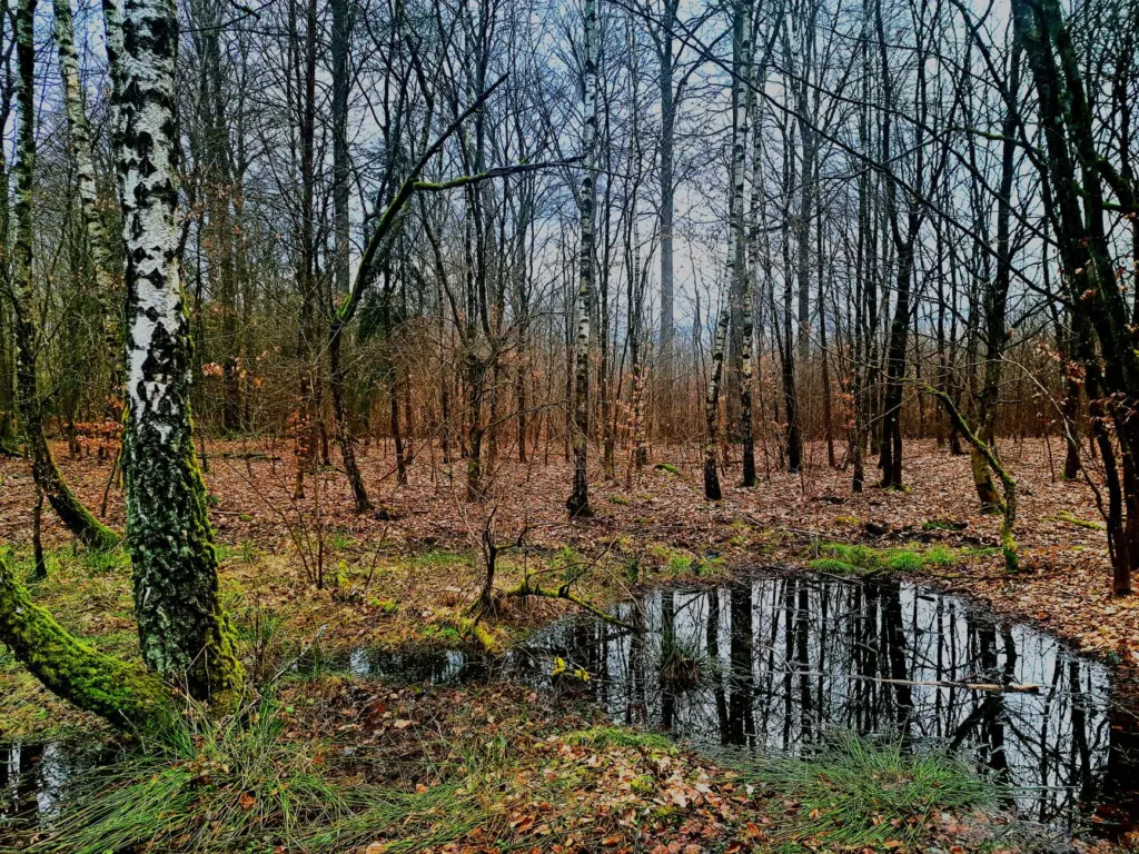
Observers get the most from pools by treating them as places to watch rather than handle. Stand back from the edge, scan the water surface, and look under the margin for movement. A date, a rough water level and a note on whether the pool is shaded are enough to make your record useful. Because pools are small, they are also vulnerable to disturbance, so keep your visit short and leave the surroundings as you found them.
Frogs and salamanders on the forest floor
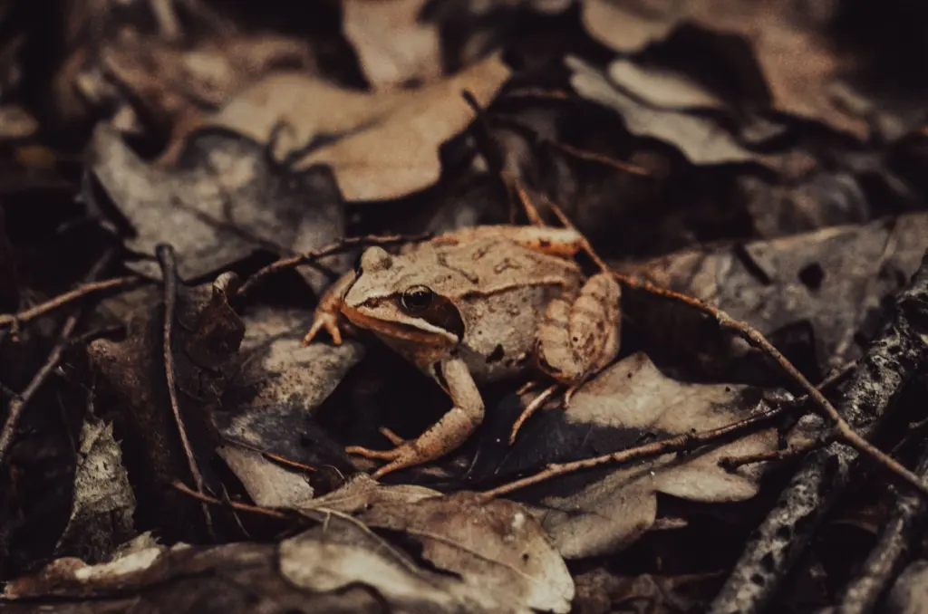
Many forest amphibians spend much of the year away from the water, and the wood frog is a good example of an animal you can meet on leaf litter rather than in a pool. Its colouring blends with dead leaves, so look for movement rather than shape. Photograph from a distance, note the habitat around it, and move on. The guide to Maine frogs and salamanders gives identification detail.
Rivers, lakes and the shores beside them
Fresh water is the least tidy habitat to survey, because much of what lives there is out of sight. The shores, however, can hold some of the state’s most specialised plants. The Maine Climate Science Portal explains that Furbish’s lousewort is found in Maine only in Aroostook County, along the St. John River, and that the open habitat it needs is maintained by the yearly scouring of the river ice.
The lesson for observers is that a habitat can depend on a physical process, not only on a plant community. Ice scour keeps the shore open, and without it the open ground this plant needs would change. A narrow range and a dependence on one process make a species like this a useful indicator, and a good reminder to record from the path, not the plant bed.
For fish, the practical approach is to start with the shoreline and the water’s edge, noting what you can see without handling anything, and to use a guide to Maine native freshwater fish for what lives below the surface. Records of plants along a shore are more reliable than records of fish, because plants stay in place while you check a guide.
How Maine ecosystems are changing
Change in Maine’s habitats shows up in several ways, and observers are well placed to document it because they return to the same places over time. The Maine Climate Science Portal highlights three patterns that your own records can follow.
- Less snow, different winter habitat. Reduced snowfall is expected to degrade habitat for snowshoe hares, so winter tracking in northern woods is a good long-term project.
- Ocean and shoreline pressure. The portal asks whether coastal and marine species are affected by sea level rise, altered ocean chemistry and changes in marine food webs. Shore observers can contribute by noting the tide line, vegetation limits on marsh edges and the condition of seaweed cover.
- Species moving north. The same source describes more southerly species, including bobcats, deer and red-bellied woodpeckers, expanding into Maine. A dated, located record of a newcomer is worth more than a vague impression that something is more common.
Not every change is climate-driven, and it is worth keeping the causes apart in your notes. Record what you saw, where and when, and leave the explanation to the people who analyse many records together. Your task as an observer is to make a record that others can compare, and that is easier to do consistently than to do dramatically.
Habitat chooser at a glance
The table below turns the sections above into a quick decision aid. It lists what an observer can look for in each setting and how to plan around it.
| Habitat | What to look for | Planning use |
|---|---|---|
| Intertidal flats and shallow bays | Inter-tidal flats, mussel reefs and eelgrasses forming a large continuous ecosystem | Check the tide first, then treat flat, reef and eelgrass as a connected sequence when you take notes. |
| Salt marsh | Saltwater wetland, such as the one at the Fore River delta in Portland; dense vegetation that filters surface water | Choose it for slow, repeat visits near a city. Stay on firm ground and note vegetation and water conditions. |
| River shores | Furbish’s lousewort, found in Maine only in Aroostook County along the St. John River | Suits observers interested in rare plants. Record from the path and avoid trampling. |
| Northern forest | Snowshoe hare habitat tied to snowfall; southern species such as bobcats, deer and red-bellied woodpeckers expanding north | Best for long-term records at a fixed route, especially through winter. |
Details in the table come from the University of Massachusetts Amherst Greenway summary of Maine’s natural assets and the Maine Climate Science Portal.
Making records that others can use
A useful record answers four questions: what, where, when and in what setting. Everything else is a bonus. Observers often spend effort on elaborate descriptions and forget the setting, yet the setting is what lets a later reader compare your visit with another.
- Write down the habitat. “Rocky ledge with seaweed cover” or “woodland pool with leaf litter” says far more than a place name alone.
- Record the conditions. Tide state on the coast, water level at pools and snow cover in the woods all explain why a species was or was not present.
- Photograph for identification. Take a wide shot of the setting and a close shot of the subject. A photograph makes a doubtful identification checkable later.
- Be honest about confidence. Mark an identification as certain, probable or unsure in your notes. A cautious label is more useful than a confident error.
- Leave the site as you found it. Replace anything you move and keep to existing paths. A habitat that is damaged by observation cannot be observed again.
Return visits matter most. A habitat you revisit across seasons gives evidence of change, and that is the kind of information that makes a citizen observer’s notes more than a personal diary.
Frequently asked questions
How many plant and wildlife species does Maine have?
The Maine Climate Science Portal reports that it is estimated there are at least 1,500 plant species (not including ferns and mosses) and 33,000 wildlife species. These are estimates, so use them as a sense of scale rather than an exact count.
How many marine birds use Maine’s coast?
The University of Massachusetts Amherst Greenway summary reports more than 150 marine-related bird species along Maine’s coastal waters. A shoreline visit is therefore a strong choice for a bird-focused record.
Which southern species are moving into Maine?
The Maine Climate Science Portal names bobcats, deer and red-bellied woodpeckers as more southerly species expanding into the state. Dated and located sightings are the most useful way to document the shift.
Is paper birch under threat in Maine?
The University of Maine’s Hudson Museum notes that paper birch trees are threatened by deforestation, insects and diseases, and climate change. Recording where birch stands are healthy or declining adds to local knowledge.